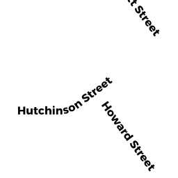
20 HOWARD ST
Owner Information
PADULA PETER E & LAURIE C TRS
14 FORT APACHE DRIVE
FRANKLIN, MA 02038


Property Details
20 HOWARD ST is classified as a Single Family Residential (Old style).
The primary structure on this property was built in 1880. There are 1385ft2 of built area within this property. There is 1385ft2 of residential/living space within this property. This property is listed as having 6 rooms.
20 HOWARD ST is valued at 325800. The land is valued at 201000 and the structures are valued at 124800.
The most recent deed for 20 HOWARD ST is recorded at the local registrar in Book 34437, Page 419. 20 HOWARD ST was last sold on 2016-09-06 for 1.
Assessment data from fiscal year 2022.
Flood Data
According to the FEMA National Flood Hazard Layer, this property does not appear to be in a flood zone. It may also be in an area not yet reviewed. Nonetheless, confirm this information prior to taking any action.
To view the flood hazards around this property, create a FEMA "Firmette" Map of the area around 20 HOWARD ST.
Broadband Internet Providers
| Provider | Type | Bandwidth (mbps) | |
|---|---|---|---|
| Verizon New England Inc. | Fiber | 940 | 880 |
| GCI Communication Corp. | Satellite | 0 | 0 |
| HughesNet | Satellite | 25 | 3 |
| VSAT Systems, LLC. | Satellite | 2 | 1 |
| Crown Castle Fiber | Fiber | 0 | 0 |
| Viasat Inc | Satellite | 100 | 3 |
| Verizon New England Inc. | DSL | 7 | 0 |
| Comcast | Cable | 1000 | 35 |
Broadband service provider data from December 2020.